The Mississippi River is Indispensable to Our Way of Life
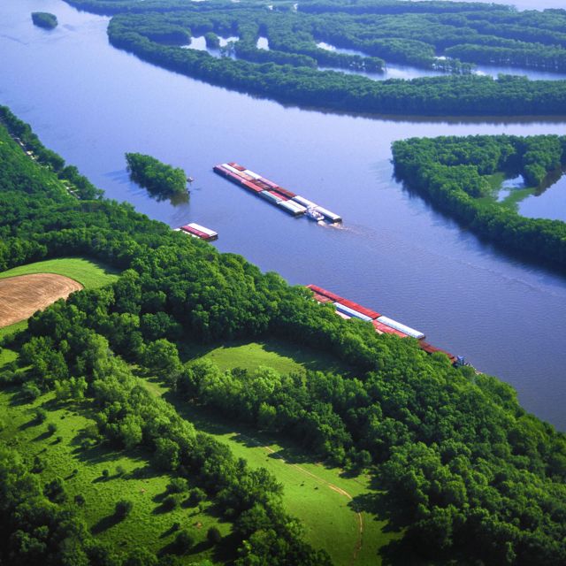
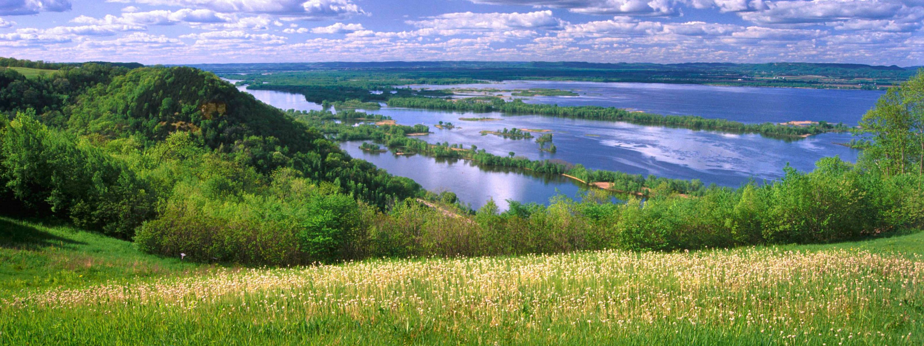
For centuries, we’ve used the Mississippi to quench our thirst, nourish our crops, energize our home, and transport our goods. The flowing water sustains robust fisheries in the Gulf of Mexico, which provide food, jobs, and economic security to millions of people. But all of this is at risk.
Protecting America’s River
Our Goal: A 20 percent reduction of nutrients entering the Mississippi River Basin by 2025
Stretching from the Allegheny Mountains across to the Rockies and south to the Gulf of Mexico, the Mississippi River Basin spans 1.245 million square miles in 31 states and two Canadian provinces—forming the world’s fourth largest river basin.
One of the most critical challenges in the Mississippi Basin today is nutrient pollution. Each year massive amounts of nitrogen and phosphorous from sewage treatment plants, farms and other sources runoff into the river, posing health hazards to people and wildlife, raising water treatment costs, and contributing to the annual Gulf of Mexico dead zone.
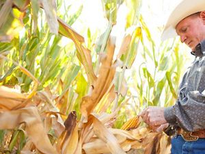
The Nature Conservancy is working with farmers, agribusiness, policy makers and others to target science-based solutions in places contributing the highest levels of nutrients.
Mapping the Mississippi
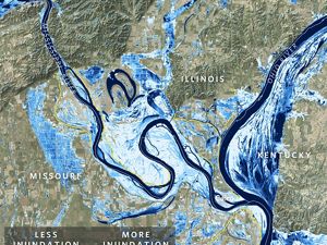
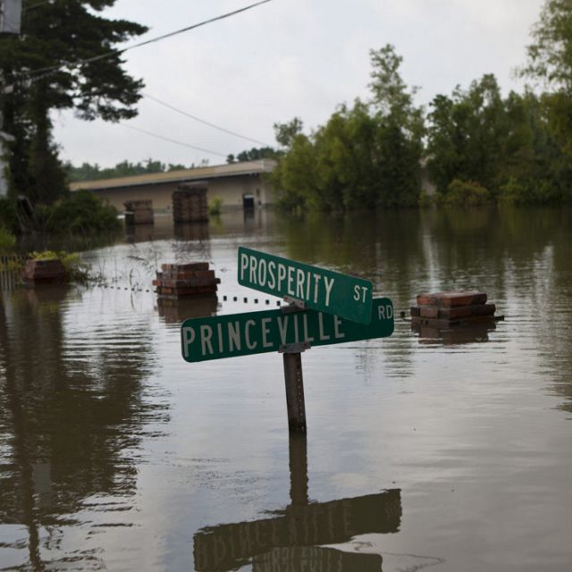
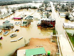
Maps like the two below (and more in Nature Conservancy magazine’s article “Letting the River Run”) help to visually tell the story of flooding along the river and the impact on people who live in the river’s floodplain.

